Feel free to hang out and lurk as long as you like. However, we would like to encourage you to
 - Joined
- Sep 22, 2006
- Messages
- 2,709
- Reaction score
- 1,967
- Location
- Castroville, Texas
- First Name
- Sander
Now that the 16th is done, planning for 2025.
Monday, July 28th through Friday, August 1st, 2025.
The ride is normally the calendar week 31 of the year.
__________________________________________________________________________________

"Its like Summer Camp for Hard Dual Sports, Share the Joy of Motorcycling"
Ride days: Monday, July 29 thru Friday, August 2, 2024
This is an unofficial, no routes, no cost to participate ride; ride when, how, with whom and where you want.
As this is a mountain dual sport ride, most ride on plated (meaning street legal) dirt bikes or the most dirt oriented dual sport bikes. This is called a Dual Sport ride in that its the most convenient to ride to and from town to the trails, and to connect trails.
Bring your non-riding husband / wife / partner / kids / siblings also, make it a family vacation.

The Smokey Bear Dual Sport Motorcycle Ride is about giving back, camaraderie, exploration, growth, and being safe; in addition to developing and renewing friendships so no one rides alone.
*Plus, escape the summer heat, ride in the cool mountain air in an alpine environment. And maybe the desert depending on the conditions or time of day.
1. The trails need more riding in, responsibly. If we don't use the trails we risk losing access.
2. More riders over a short period of time will demonstrate the positive economic impact of motorcyclists responsibly using National Forest land.
3. Although there is no cost to participate in the ride the riders are encouraged to make a donation to the Cloudcroft Fire / EMS on Monday morning at the pre-ride gathering to give back and further off-road motorcyclists cause as a responsible user group. The dollar amount is whatever each rider feels is appropriate, and is made directly by the rider to the Fire Chief.
Write a check directly to the Clouldcroft EMS and get the tax deduction.

At your own risk if your bike isn't plated and you ride on the street... its more beneficial to our cause, and if you need them later, to donate to the fire department rather than to pay a fine to the police department.
The point of the ride is to elevate our status as responsible users.
There are parking areas at most motorized trailheads.

***NOTE - The trails can be very challenging.
There are adventure opportunities as well, usually an adventure group forms up. The New Mexico Backcountry Discovery Route goes through the area.

Unofficial 2024 Smokey Bear Dual Sport Motorcycle Ride itinerary:
Sunday, July 28 - Prep Day
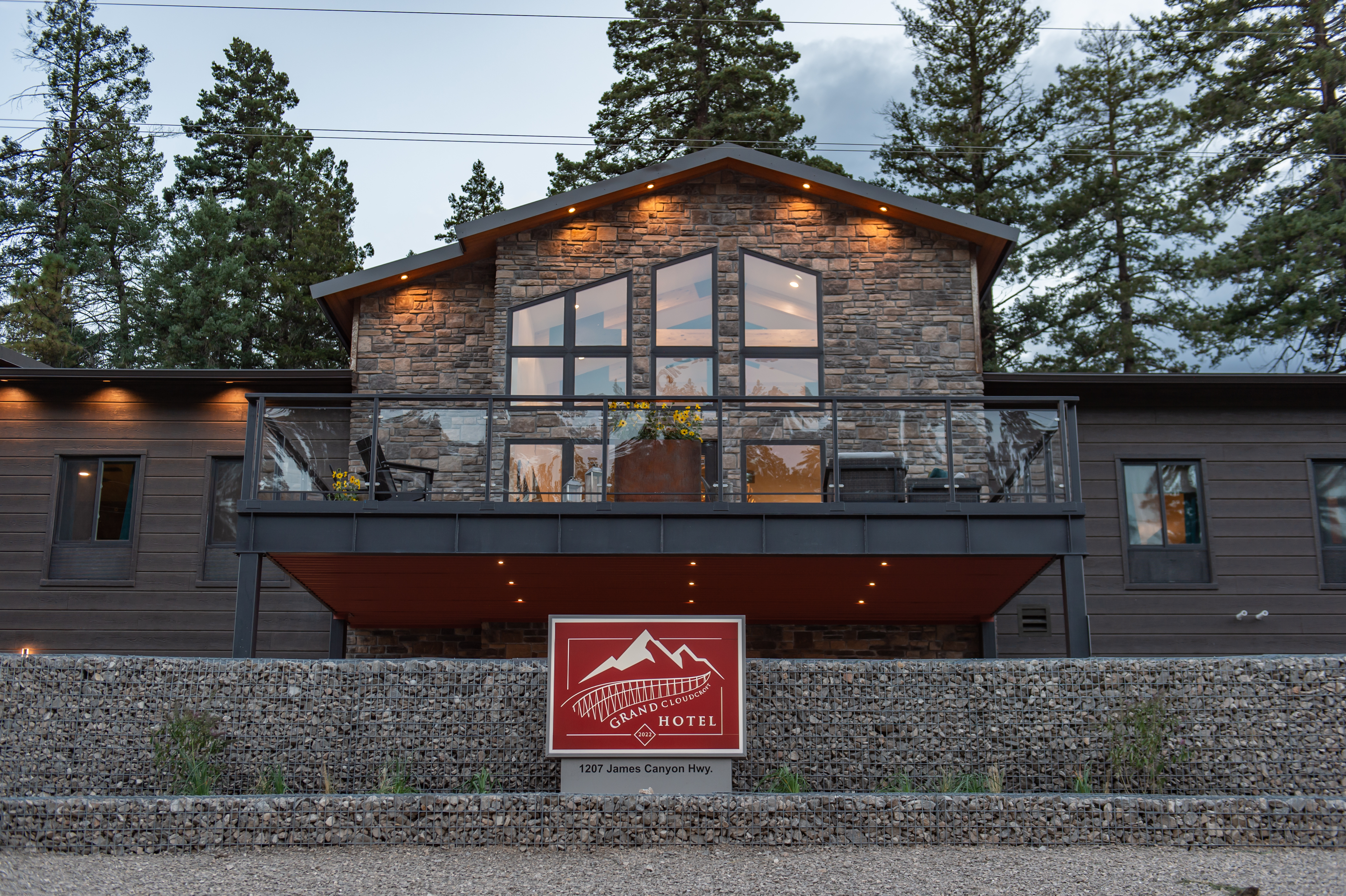
*Pre-ride dinner @ 630p Cloudcroft Brewing Company - Good time to meet & get to know each other, and plan for the week; rides, dinners / cook outs, designate group leaders, etc.
And pickup your 2024 ride sticker. The weekly winner criteria for the ride mug and banner will be announced.
Monday, July 29 - Ride Day
Acclamation Day & Cloudcroft Fire / EMS donation @ 9a @ the pre-ride gathering - Meet at the Cloudcroft Pavilion about 845a.
Tuesday, July 30 - Ride Day
Exploration Day - Meet at the Cloudcroft Pavilion about 845a.
*Dinner - Taco Tuesday @ 630p - Western Bar and Cafe $1.50 Tacos & $6.00 Margaritas
Hero Day IE The Hard day - Meet at the Cloudcroft Pavilion about 845a.
Thursday, August 1 - Ride Day
Rediscover Day - Meet at the Cloudcroft Pavilion about 845a.
Friday, August 2 - Ride Day
Safety Day - Meet at the Cloudcroft Pavilion about 845a.
*Dinner - Post-ride banquet @ 630p - Ski Cloudcroft *BYOB
Two Giveaway - a 2024 ride mug and a 2024 ride banner. Must be present to win, and must have ridden a minimum of 4 days.


Groups take off about 9a daily from the Cloudcroft pavilion, on truly street legal dual sport motorcycles, with a day's worth of fuel or a full charge, ready to ride just after filming the daily video.
Directions to the Cloudcroft Pavilion.

Willing group leaders are encouraged and appreciated.
As the ride is self-guided join a group or LEAD ONE; it is beneficial if possible to group up by:

Spacing & keeping the group together on the roads and trails
The Daisy Chain method is very effective to avoid the dust and keep the group moving.
***BUT all riders have to pay attention to the riders directly in front of them and behind them. If they do, the daisy chain method works great so the entire group doesn't have to stop to regroup up at every non-obvious change of direction.
If not its a total failure. Then the entire group can revert to stopping and regrouping at every non-obvious change of direction.
Also, take off from any stops in order of expected pace, and respect the spacing of the other rider(s) trying to avoid the dust. Anyone that's ridden an enduro knows this process.
We are blessed to have access to National Forest trails please don't give anyone a reason(s) for us to lose that privilege.
Be courtesy to other trail users
When in doubt yield the right of way.
Lost
If you do get separated, stop at the last known spot the group has ridden, the group with backtrack to you.
Breaking off
If you decide to break off from the group, tell the group leader before you do.

Map and trail information
The Motor Vehicle Use Maps (MVUMs) show where you can and cannot take a motorized vehicle. They show where you can legally drive, take your motorcycles, ATVs or UTVs and where you can disperse camp (aka road-side camp).
You may pick FREE copies of the MVUM map at the Forest Service office or download the PDF version here - https://www.fs.usda.gov/Internet/FSE_DOCUMENTS/stelprdb5413949.pdf
Trails - https://www.fs.usda.gov/activity/lincoln/recreation/ohv/?recid=34166&actid=93
For your bike:
Prepare your bike properly in advance, be self prepared during the ride, with tires that will last 500 miles in rocky terrain, with Heavy Duty tubes, Tubliss, Bibs, etc. You'll be in the mountains and maybe the high desert, have:


17th Annual Smokey Bear Dual Sport Motorcycle Ride - 2025
2025 Ride Dates:Monday, July 28th through Friday, August 1st, 2025.
The ride is normally the calendar week 31 of the year.
__________________________________________________________________________________
"Its like Summer Camp for Hard Dual Sports, Share the Joy of Motorcycling"
Ride days: Monday, July 29 thru Friday, August 2, 2024
This is an unofficial, no routes, no cost to participate ride; ride when, how, with whom and where you want.
As this is a mountain dual sport ride, most ride on plated (meaning street legal) dirt bikes or the most dirt oriented dual sport bikes. This is called a Dual Sport ride in that its the most convenient to ride to and from town to the trails, and to connect trails.
Bring your non-riding husband / wife / partner / kids / siblings also, make it a family vacation.
The Smokey Bear Dual Sport Motorcycle Ride is about giving back, camaraderie, exploration, growth, and being safe; in addition to developing and renewing friendships so no one rides alone.
*Plus, escape the summer heat, ride in the cool mountain air in an alpine environment. And maybe the desert depending on the conditions or time of day.
1. The trails need more riding in, responsibly. If we don't use the trails we risk losing access.
2. More riders over a short period of time will demonstrate the positive economic impact of motorcyclists responsibly using National Forest land.
3. Although there is no cost to participate in the ride the riders are encouraged to make a donation to the Cloudcroft Fire / EMS on Monday morning at the pre-ride gathering to give back and further off-road motorcyclists cause as a responsible user group. The dollar amount is whatever each rider feels is appropriate, and is made directly by the rider to the Fire Chief.
Write a check directly to the Clouldcroft EMS and get the tax deduction.
At your own risk if your bike isn't plated and you ride on the street... its more beneficial to our cause, and if you need them later, to donate to the fire department rather than to pay a fine to the police department.
The point of the ride is to elevate our status as responsible users.
There are parking areas at most motorized trailheads.
***NOTE - The trails can be very challenging.
There are adventure opportunities as well, usually an adventure group forms up. The New Mexico Backcountry Discovery Route goes through the area.
Unofficial 2024 Smokey Bear Dual Sport Motorcycle Ride itinerary:
Sunday, July 28 - Prep Day
*Pre-ride dinner @ 630p Cloudcroft Brewing Company - Good time to meet & get to know each other, and plan for the week; rides, dinners / cook outs, designate group leaders, etc.
And pickup your 2024 ride sticker. The weekly winner criteria for the ride mug and banner will be announced.
Monday, July 29 - Ride Day
Acclamation Day & Cloudcroft Fire / EMS donation @ 9a @ the pre-ride gathering - Meet at the Cloudcroft Pavilion about 845a.
Tuesday, July 30 - Ride Day
Exploration Day - Meet at the Cloudcroft Pavilion about 845a.
*Dinner - Taco Tuesday @ 630p - Western Bar and Cafe $1.50 Tacos & $6.00 Margaritas
Wednesday, July 31 - Ride DayHero Day IE The Hard day - Meet at the Cloudcroft Pavilion about 845a.
Thursday, August 1 - Ride Day
Rediscover Day - Meet at the Cloudcroft Pavilion about 845a.
Friday, August 2 - Ride Day
Safety Day - Meet at the Cloudcroft Pavilion about 845a.
*Dinner - Post-ride banquet @ 630p - Ski Cloudcroft *BYOB
Two Giveaway - a 2024 ride mug and a 2024 ride banner. Must be present to win, and must have ridden a minimum of 4 days.
Groups take off about 9a daily from the Cloudcroft pavilion, on truly street legal dual sport motorcycles, with a day's worth of fuel or a full charge, ready to ride just after filming the daily video.
Directions to the Cloudcroft Pavilion.
Willing group leaders are encouraged and appreciated.
The more group leaders there are, the smaller the groups will be which offers a better chance for similarity of bike size, ride goals, etc.
You don't have to be any expert on the area to lead a group, just have an adventurous spirit, like fun and know how to read a map. Or the Avenza Map.
*The Motor Vehicle Use Maps (MVUMs) show where you can and cannot take a motorized vehicle. They show where you can legally drive, take your motorcycles, ATVs or UTVs and where you can disperse camp (aka road-side camp).
As the ride is self-guided join a group or LEAD ONE; it is beneficial if possible to group up by:
- Technical desire
- Expected pace
- Hours to ride
- Fuel Range
- Bike size
- Etc.
- Similarity of daily ride goals equals more enjoyment and comfort for each rider.
- If the group groove isn't what you expected, be prepare to split the group up further to increase enjoyment.
- Be prepared for 100 miles or so between fuel stops. If not plan ahead to split off from the group on your own to get fuel.
Spacing & keeping the group together on the roads and trails
The Daisy Chain method is very effective to avoid the dust and keep the group moving.
***BUT all riders have to pay attention to the riders directly in front of them and behind them. If they do, the daisy chain method works great so the entire group doesn't have to stop to regroup up at every non-obvious change of direction.
- Rider in front - Wait at every corner/turn for the rider directly behind you when the direction to continue isn't 100% obvious.
- Rider in front - Wave or make some other gesture to the rider directly behind you before you take off. Just because you see the rider behind you it doesn't mean the rider behind sees you and the proper direction to continue.
- Rider behind - Make an acknowledgement gesture that confirms you see the proper direction to go, and also that you will stop to wait for the next rider. And that rider will repeat the process starting at 1.
If not its a total failure. Then the entire group can revert to stopping and regrouping at every non-obvious change of direction.
Also, take off from any stops in order of expected pace, and respect the spacing of the other rider(s) trying to avoid the dust. Anyone that's ridden an enduro knows this process.
Stay of the trailWe are blessed to have access to National Forest trails please don't give anyone a reason(s) for us to lose that privilege.
Be courtesy to other trail users
When in doubt yield the right of way.
Lost
If you do get separated, stop at the last known spot the group has ridden, the group with backtrack to you.
Breaking off
If you decide to break off from the group, tell the group leader before you do.
Map and trail information
The Motor Vehicle Use Maps (MVUMs) show where you can and cannot take a motorized vehicle. They show where you can legally drive, take your motorcycles, ATVs or UTVs and where you can disperse camp (aka road-side camp).
You may pick FREE copies of the MVUM map at the Forest Service office or download the PDF version here - https://www.fs.usda.gov/Internet/FSE_DOCUMENTS/stelprdb5413949.pdf
Trails - https://www.fs.usda.gov/activity/lincoln/recreation/ohv/?recid=34166&actid=93
For your bike:
Prepare your bike properly in advance, be self prepared during the ride, with tires that will last 500 miles in rocky terrain, with Heavy Duty tubes, Tubliss, Bibs, etc. You'll be in the mountains and maybe the high desert, have:
- Plenty of fuel - be prepared for a minimum of 100 miles between fuel stops. If not be prepared to split off from the group on your own to get fuel.
- Tools, and know how to use them.
- Tubes, tire irons, air supply, etc. Or the equivalent for your choice of in the tire buoyancy.
- Tow strap.
- Extra spark plugs, levers, zip ties, duct tape, etc.
- Two stroke oil, if riding a two stroke, we may gas up at a remote gas station.
- Liquid steel or equivalent for repairing a cracked engine case.
- Be bike sufficient
- Food for lunch and a snack later.
- Matches.
- More water than you think you'll need.
- Rain gear. It will rain at some point. I carry a jacket and trash bags.
- Money.
- Be self sufficient
Last edited: