- Joined
- Mar 5, 2008
- Messages
- 9,340
- Reaction score
- 2,105
- Location
- Where the road leads ya.... Or Waco
- First Name
- Rod
- Last Name
- Powers
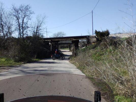
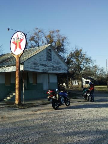
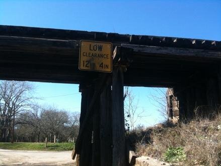
Well....We had at least a couple of groups of riders use the map while workin their way back home from the Pie Run yesterday.I led one group of 6 & Red Brown had a couple of riders in a group.Had a detour early on due to the Leon River at Levita on Coryell CR198 (see pics from Anniversary Pie Run) but that was the only problem.We still were able to get across the other low water slabs without problems (just a little deep on some).
So....the Google map seems to be benefitting folks who want a slightly different ride compared to the usual FMs.PLEASE...Everyone who sees the map & wants to ride the CRs....JUST REMEMBER WHAT TYPE OF BIKE YOU RIDE,THE WEATHER CONDITIONS....& YOUR RIDING SKILLS.
& PLEASE REMEMBER THE LOCAL RESIDENTS ON THESE ROADS....
Here's a link to ADV Cen-Tex Riders for discussion of riding plans
http://www.advrider.com/forums/showthread.php?p=12036096&posted=1#post12036096
Last edited:


 Feel free to hang out and lurk as long as you like. However, we would like to encourage you to
 Made for a darned chilly ride to work this morning... and at lunch... and on the way home


